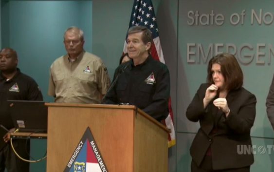
- NC Gov. Stein pledges continued Hurricane Helene recovery support in 100-day address
- Austin adopts new map that greatly expands area at risk of wildfire
- CenterPoint Energy accelerates infrastructure improvements ahead of hurricane season
- Carolina Hurricanes playoff tickets go on sale Thursday
- Ask the Meteorologist: Why do tornadoes target Tornado Alley, Dixie Alley?
‘Is this it?’: Here’s what the Triangle should expect as Hurricane Florence moves inland

Hurricane Florence made landfall Friday morning as a category 1 storm and was slowly inching its way inland.
But in the Triangle, which had experienced little more than gusty winds, rain and occasional power outages Thursday, some were left wondering when — or if — the “biblical flooding” and devastating wind will reach the center of the state.
People were tweeting, posting on Facebook and Reddit asking “Is this it?” “Will it get worse?” “Is it over?” and more.
“Catastrophic flash and eventually river flooding remains the primary concern as Florence continues to drift inland slowly across central (North Carolina),” the National Weather Service’s Raleigh office tweeted Friday afternoon.
The National Hurricane Center’s latest 5-day rainfall map as of Friday morning showed 6 to 10 inches of rain for the Triangle area, with localized heavier amounts.
But when will the Triangle see the worst of it?
This afternoon, ABC11 meteorologist Don Schwenneker said.
Schwenneker puts the Triangle estimates at 5 to 10 inches through Tuesday, with the northern parts of the Triangle in the 3 to 5 inch range and southern areas getting up to 9 or 10 inches.
Flash flood watches will likely remain in place for the Triangle “all the way through Sunday,” Schwenneker said, and “life-threatening flash flooding is likely,” the NWS said.
The Triangle still has a good possibility of seeing 50 mph or higher winds. Schwenneker said RDU had already seen 40 mph gusts Friday morning. Parts of the area, he said, could go over 70 mph.
“Between 3 and 8 p.m. — that’s when we’ll really see the winds topping out,” Schwenneker said.
Parts of the Triangle were under flash flood watches, tropical storm warnings and tornadoes had been spotted as close as Rocky Mount, the NWS said.
The storm was about 130 miles south-southeast of Raleigh as of 11:20 a.m. Friday, the NWS said.
The southern areas of central North Carolina could see more than 20 inches of rain.
“A prolonged period of extremely heavy rainfall, particularly across the Sandhills and southern portions of the Piedmont and Coastal Plain, will last into the weekend. Total rainfall amounts of 10 to 20 inches are likely,with amounts over 20 inches possible over far southern sections,” the NWS said Friday.
One of the biggest threats will be “prolonged river flooding, especially across the Cape Fear, Neuse and Black river basins,” the NWS said.
Much of the central part of the state can expect damaging wind that will cause damage to trees and power lines, adding to the growing number of outages across the state, according to the NWS.