Trees down, homes damaged after tornado reported in Elm City

Read More
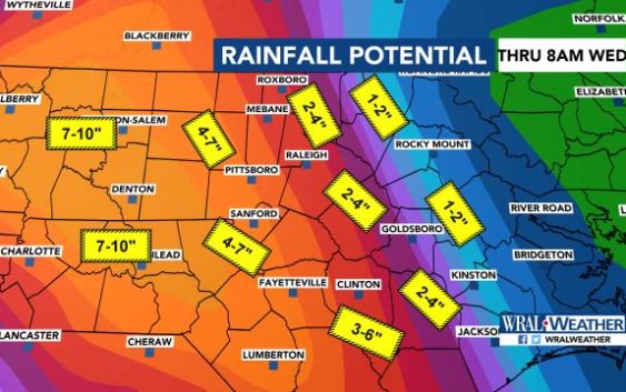
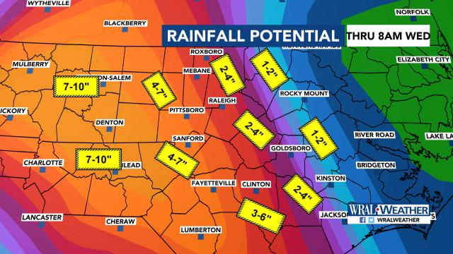
Nailing down exact rainfall totals from the variable bands and clusters of showers and storms we’ll see this afternoon and tonight, and then on a more scattered basis tomorrow and Tuesday, is very difficult, but this graphic gives a sense of the average magnitude of additional rains that could occur during that period. Generally, amounts will be higher to the west and southwest and vice versa. We continue with some flash flood potential this afternoon and tonight, while the threat will be shifting more to river flooding after that, although some places like Lumberton are already seeing river flood impacts become very serious now.
