- Debris from Hurricane Helene provides fuel, complicates containment for spring wildfires
- David & Nicole Tepper increase Hurricane Helene relief commitment to $750k
- David & Nicole Tepper increase Hurricane Helene relief commitment to $750k
- McDowell County wildfire spreads to 500 acres, evacuation orders in place
- Evacuations in Caldwell County due to wildfire
Severe storms Monday night could bring strong winds, hail and isolated tornadoes to NC
Raleigh, N.C. — While Monday will be mostly clear and quiet, a chance for severe weather will arrive later in the day.
According to WRAL meteorologist Elizabeth Gardner, scattered storms could start to pop up as early as 4 or 5 p.m., but the first half of the day will be dry and cloudy.
“Most likely [the storms will arrive] around dinnertime,” said Gardner. “The bulk of this will really be 7 to 10 p.m.”
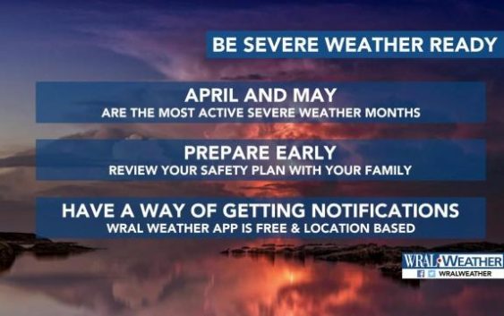
Subscribe to receive weather alerts on the WRAL Weather App.
North Carolina is under a level 2 threat for strong to severe weather Monday evening and overnight, with primary risks being damaging wind gusts, hail and frequent lightning. An isolated tornado can’t be ruled out, according to Gardner.
The entire day will be mild, topping out around 78 degrees in Raleigh.

The rain will stick around for part of Tuesday, when more thunderstorms are possible in the morning, but severe weather is not expected. Wednesday and Thursday should be mostly clear and dry.
Each day of the work week will be warm and summer-like, with highs in the upper 60s to low 70s for Tuesday, Wednesday and Thursday and in the upper 70s for Friday and Saturday. Rain could return for next weekend, but temperatures will stay warm.
