- One set of evacuation orders lifted in Caldwell County after wildfire contained
- 'We gutted every building' | Chimney Rock rebuilding after Hurricane Helene
- 'We gutted every building' | Chimney Rock rebuilding after Hurricane Helene
- Debris from Hurricane Helene provides fuel, complicates containment for spring wildfires
- David & Nicole Tepper increase Hurricane Helene relief commitment to $750k
Houston area getting slammed with severe weather
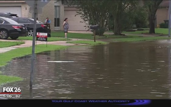
HOUSTON (FOX 26) – A Severe Thunderstorm Watch is in effect throughout the Houston area until 1 a.m. Friday, May 10.
Also a Flash Flood Watch is in effect for all of southeast Texas until 7 p.m. Saturday, May 11.
People can expect severe storms to bring high gusts of wind and possible hail.
Download the FOX 26 Weather App to get the latest weather conditions in your area! It’s available for FREE on Android and Apple devices.
Heavy rain is expected and flooding is likely to happen. If the storms stall out, rivers, creeks and bayous could also flood.
In anticipation of this weather event, several schools have been closed Friday.
MORE: Emergency officials working to minimize flooding ahead of storms
To get the latest information on how this weather event may affect your area, make sure you tune into FOX 26 on-air and online.
RELATED: