- Debris from Hurricane Helene provides fuel, complicates containment for spring wildfires
- David & Nicole Tepper increase Hurricane Helene relief commitment to $750k
- David & Nicole Tepper increase Hurricane Helene relief commitment to $750k
- McDowell County wildfire spreads to 500 acres, evacuation orders in place
- Evacuations in Caldwell County due to wildfire
Severe Weather Possible
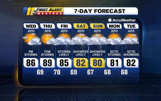
A mix of sun and clouds across the Triangle today with showers and thunderstorms developing this afternoon. Plenty of moisture across the region will help to fuel the storms and some can become strong enough to produce heavy downpours and damaging wind gusts.
Over 1/3 of the US population under a risk for severe weather today. 31 million are under a slight (category 2) risk with the biggest threat from damaging winds. That includes our entire viewing area. Please be #weatheraware today! #ncwx pic.twitter.com/92gCH465Bu
— Don Schwenneker (@BigweatherABC11) June 5, 2019
Storms can linger into the evening hours before dissipating after sunset; otherwise, partly cloudy through tonight. Temperatures will fall to around 70 F.
Tomorrow will be hot and humid as temperatures climb toward 90 F. We’ll see a mix of clouds and sun throughout the day, then showers and thunderstorms will develop once again through the afternoon hours as a frontal boundary moves through the area. Conditions will remain humid through the overnight hours.
There is still some uncertainty for Friday and into the weekend as to when rain and the increased threat for flooding will be over Central North Carolina. One possibility will be showers and thunderstorms, some becoming heavy, over the area through this time period.
On the other hand, a boundary can sink south of the Triangle and keep the bulk of the activity to the south for the weekend, then lift to the north and allow rain and thunderstorms during the beginning of next week.
Either solution will bring an increased risk for heavy rainfall, it is just a matter of determining when it is most likely. We have been abnormally dry, so it will take very heavy rainfall to cause flooding, should it occur.
Have a great Hump Day!
Bigweather
Check the radar anytime with the free AccuWeather app for iPhone and Android today!
Copyright © 2019 WTVD-TV. All Rights Reserved.