- Austin leaders consider expanding wildfire protection plan
- Large hail, strong winds and tornado threat possible into Thursday evening
- Large hail, tornado threat possible Thursday evening
- Jaccob Slavin scores in OT as the Hurricanes beat the Capitals in Game 1 of their 2nd-round series
- 5 On Your Side: What happened to cars flooded during Hurricane Helene?
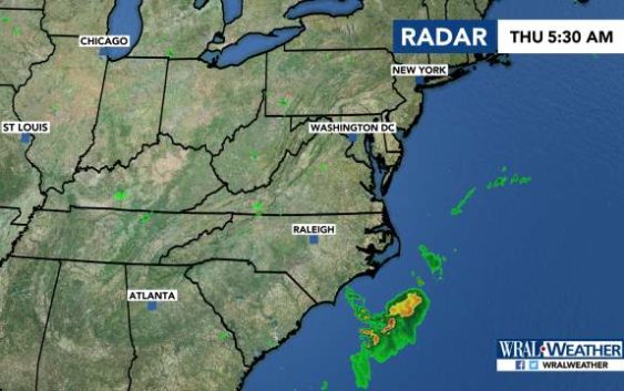
Lightning, damaging winds possible throughout central NC
Raleigh, N.C. — Independence Day will be another hot day, with severe weather possible in the late afternoon and early evening.
The morning started with temperatures in the mid-70s, and a high dew point will make the day feel muggy, meteorologist Aimee Wilmoth said.
Storms are expected to develop around 3 p.m.
Damaging winds, frequent lightning and heavy rain is possible throughout central North Carolina, Wilmoth said.
“Lightning is going to be very frequent with any storms that develop today, so be very careful,” Wilmoth said. “Make sure you take shelter if you hear thunder.”
The storms will be scattered, and they’re expected to linger throughout the evening.
Fireworks displays throughout the area could be delayed if storms continue.
Temperatures will reach 93 degrees, but the heat index could reach 100 or 105 degrees.

Stormy forecasts continue through Monday and will begin to cool things down.
