- Texas’ biggest wildfire started a year ago. How does the Panhandle look now?
- To her, Hurricane Helene debris isn’t trash. It is full of memories — and she’s returning them
- Bills introduced a year after state’s largest blaze seek to limit wildfires
- A year after Texas’ largest wildfire, Panhandle residents tugged between hope and anxiety
- Another $500M for Hurricane Helene relief in North Carolina passes key hurdle
Hurricane Season: What to know, what to do

HOUSTON, Texas — Anytime there’s a disaster of any kind this is information you should know. We have no idea what this weekend has in store, but we’re preparing you for anything.
First up, phone numbers – write them down now and keep them safe.
The first number is easy – call 9-1-1, but only if you are in a life threatening situation. If you’re not, but still need help, the city says you can call 3-1-1.
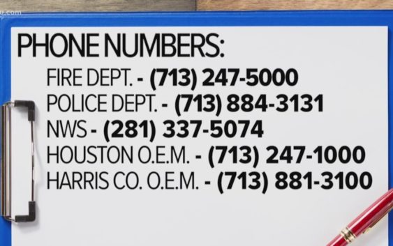
These are other non-emergency numbers that are good to know:
The Fire Department – (713) 247-5000
The Police Department – (713) 884-3131
National Weather Service – (281) 337-5074
Houston Office of Emergency Management – (713) 247-1000
Harris County Office of Emergency Management – (713) 881-3100
Another thing you should do now, register for alerts with AlertHouston. They will send out warnings of current conditions or ways to protect yourself. Register here.
RELATED: Gulf of Mexico weather: Disturbance now in the gulf; models shift east
RELATED: Tracking Invest 92L: Stats, spaghetti models and more
Want to know where Houston is flooding? Well, now, there’s an app for that.
When Houston takes on a lot of rain, we know certain streets seem to flood faster than others. So Houston Transtar is making it easy for you know where to avoid.
Here’s how it works:
Transtar is using the Harris Co. Flood Control District’s existing flood gauges, and anytime there’s heavy rainfall in a certain area, a three mile warning zone will pop up around that area on the map in your app. That way you know to stay away.
It’s a real time warning that helps you make sure you’re safe.
You can download the Houston Transtar app on your smartphone. It’s free in the Apple store or on GooglePlay.
If you don’t want to download the app, Transtar also has it online: https://traffic.houstontranstar.org/layers/
The county also has a map that points out what streets and intersections seems to flood first, so take a look here to see if any are in your area: https://www.houstonemergency.org/steer-clear-of-flood-prone-roadways-during-periods-of-heavy-rainfall/
An evacuation isn’t even on our radar at this time, but having a plan should always be on your mind.
This might be scary to talk about, especially because we’re nowhere near in need of an evacuation at this time, but this is information you just need to know – all the time.
When it comes to evacuations, do you know where to go?
The city has a saying: “Hide from the wind, run from the storm.”
When it comes to the potential for a storm surge, the coastal counties will be the first to pack up.
There’s a map online that breaks it down by zip code: http://www.gis.hctx.net/evacuationmap/
Zip codes in purple will evacuate first, and if the forecast calls for it, then yellow, green and orange.
Evacuation routes are highlighted in red: http://www.h-gac.com/hurricane-evacuation-planning/documents/2019-evacuation-route-map-small.pdf
This helps you figure out what road to take when making your plan.
If you think you’ll need help leaving town, the state has a program you need to sign up for today.
It’s called the STEAR program. It’s a statewide program that offers evacuation assistance to anyone who needs help for elderly, disabled or maybe those who can’t speak English. When an evacuation is ordered, they will contact you to see if you need help.
Call 2-1-1 for help signing up or register here online today: https://stear.dps.texas.gov/Services/STEAR/Login.aspx
Again this is very premature but still good information to have during Hurricane Season.