- Sellers and Rantanen are among the NHL trade deadline winners. Hurricanes and Boeser are some losers
- Hurricane forecasters express concern over NOAA job cuts impact
- FEMA deadline for Hurricane Helene recovery aid extended again
- Tornado drills to take place at schools across North Carolina Friday morning
- Hays County emergency alerts cause confusion during Tuesday's wildfires
Timeline: Here's what to expect for overnight storms; flash flood warning in effect until 6:30 p.m.

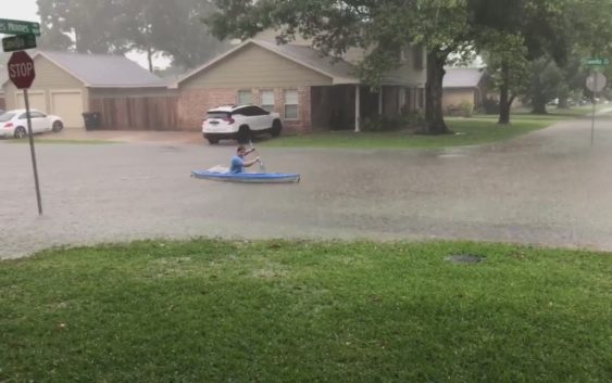
Heavy downpours led to street flooding across Greater Houston on Friday. Another round of rain expected overnight.
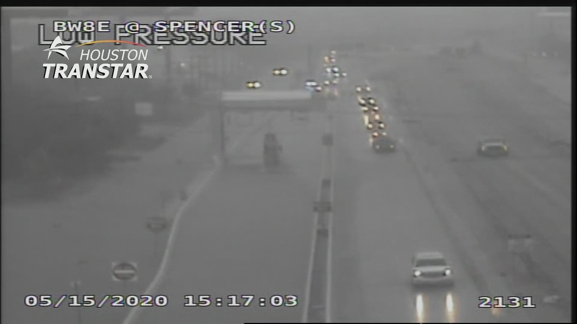
Strong storms soaked much of the Greater Houston area Friday afternoon, dropping as much as five inches in a couple of hours.
Areas like Pasadena, League City and Sugar Land saw significant street flooding during the downpours.
Harris and Fort Bend counties remain under a flash flood warning until 6:30 p.m.
RELATED: Map of power outages in Houston
Another round of storms will blow through overnight.
Though because of Friday afternoon’s storms, KHOU 11 Chief Meteorologist David Paul doesn’t expect them to be as bad as once forecast.
Here’s what you can expect.
Timeline
David Paul said another band of storms will blow in from West Texas between 11 p.m. to 5 a.m.
But because of the afternoon storms, Paul said much of the energy has been zapped out of the atmosphere and the overnight rain shouldn’t be too bad.
1 a.m. – Storms begin to approach our western counties.
3 a.m. – Storms should begin to pass through Houston, with the heaviest rainfall likely south of I-10.
7 a.m. – The storms blow east to Louisiana and clear the area, and with them goes the heavy rain threat for the weekend.
In all, Paul expects about half an inch to an inch and a half of rain to fall overnight.
“That’s not enough to cause any flash flooding,” he said. “I’m cautiously optimistic it’s going to be OK.”
Get the KHOU11 app and stay close to the weather with us this weekend.
