- One set of evacuation orders lifted in Caldwell County after wildfire contained
- 'We gutted every building' | Chimney Rock rebuilding after Hurricane Helene
- 'We gutted every building' | Chimney Rock rebuilding after Hurricane Helene
- Debris from Hurricane Helene provides fuel, complicates containment for spring wildfires
- David & Nicole Tepper increase Hurricane Helene relief commitment to $750k
Tropical Storms Expected To Become Hurricanes, Impacts Likely For Texas And Louisiana
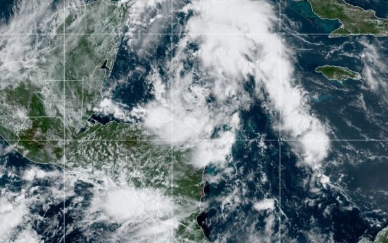
Tropical Storm Marco, when it was still Tropical Depression 15 on Friday night.
Forecasters expect tropical storms Marco and Laura to strengthen into hurricanes before they make landfall next week, as both continue to advance into the Gulf of Mexico over the weekend.
While the exact paths of both storms are still uncertain, the two are projected to hit both Texas and Louisiana. A Saturday morning update from the National Weather Service Houston/Galveston office listed tropical storm force winds from Marco arriving Monday night and from Laura on Wednesday.
MORE: How to prepare for a hurricane
Forecasters also laid out areas of greatest risk for storm surge from Marco in the Houston area — low lying areas near Galveston Bay, Bolivar Peninsula, and the bay side of Galveston Island. Storm surge impacts are expected in Matagorda and Brazoria counties as well.
Here is our latest video briefing on Tropical Storms Marco and Laura and possible impacts to Southeast Texas.https://t.co/SI7fHdBtjj
— NWS Houston (@NWSHouston) August 22, 2020
Swells from Marco are expected to begin showing late Sunday night and Monday, although forecasters say it is still too early to say what will be the exact impacts. Forecast tracks for both Marco and Laura remain highly uncertain, with NWS meteorologists saying models are not handling the situation well.
Subscribe to Today in Houston
Fill out the form below to subscribe our new daily editorial newsletter from the HPM Newsroom.