- Report: Coastal flooding could threaten 1.4 million homes by midcentury
- Caught on camera | Tornado touches down in Missouri
- Carolina Hurricanes playoff tickets go on sale next week
- Storms kill 6 in the South and Midwest as forecasters warn of catastrophic rains, floods this week
- Weather Impact Alert: Cold front could trigger severe weather in Houston area this weekend | See timeline
Flooded roads, damaging winds expected across the Triangle from Sally's remnants

The Triangle is under a flash food watch and a Level 2 risk severe storm Thursday into Friday evening.
Remnants from Sally is bringing us excessive rainfall and flooding. Rain will be possible all day Thursday and Friday. WRAL’s Severe Weather team say to expect the heaviest rain on Thursday afternoon and evening.
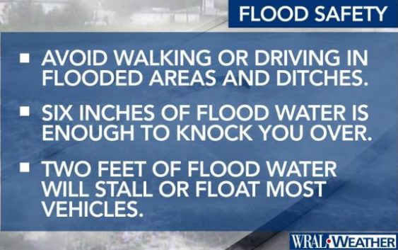
If you are driving in the Triangle on Thursday evening, be aware of flooded roads. Do not try to drive through standing water or washed out roads.
Wednesday night, Sally was downgraded to a tropical depression. The storm made landfall in Alabama at around 6 a.m. on Wednesday as a Category 2 storm. The remains of Hurricane Sally will cause a remnant low that will be south of North Carolina.
Heavy rains and saturated ground trees could come down and power outages are possible on Thursday and Friday.
Wind gusts are expected to pick up to 20 to 30 mph, which could knock over trees.
Flooding risk
The Triangle is expecting 2 to 5 inches in the next two days from these storms.
“There are going to be places that don’t see flooding and there are going to be places that do,” said WRAL meteorologist Elizabeth Gardner.
Minor river flooding is also forecast for several area rivers.
There will be the highest risk for flooding on the road on Thursday evening, so take caution if you are driving.
Level 2 risk for severe weather
The highest risk for severe weather is under the center of circulation.
Storms rolling in from Thursday could cause damaging wind gusts from faster moving bands of rain and tropical downbursts. There is also the chance of a weak tornado or two. The chance for tornados is low, according to WRAL meteorologist Zach Maloch.
Thunderstorms should move out of our area by Friday night.