- Debris from Hurricane Helene provides fuel, complicates containment for spring wildfires
- David & Nicole Tepper increase Hurricane Helene relief commitment to $750k
- David & Nicole Tepper increase Hurricane Helene relief commitment to $750k
- McDowell County wildfire spreads to 500 acres, evacuation orders in place
- Evacuations in Caldwell County due to wildfire
It's Severe Weather Preparedness Week. Here's what you need to know
Spring weather in North Carolina is associated with quite the whirlwind of weather from erratic temperature trends to severe weather. Despite our weather’s unpredictability, spring is when we typically see some of our strongest storms and most impactful weather.
With warmer weather quickly approaching, now is the time to prepare for the severe weather season. By just reviewing the terminology and ways to stay safe, we would all be better off when severe thunderstorms and tornadoes inevitably strike our state, and the likelihood of injury and fatalities could be minimized.
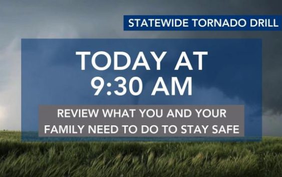
At 9:30 a.m. on Wednesday, the National Weather Service in cooperation with local broadcasters will conduct a statewide tornado drill.
Severe thunderstorms and tornadoes
A thunderstorm is a local storm that produces lightning and thunder. Thunderstorms are often accompanied by showery rain, gusty winds and occasionally hail. North Carolina experiences about 40 to 50 thunderstorm days per year. About 10 percent of thunderstorms are classified as severe – one that produces hail at least an inch in diameter, has winds of 58 miles per hour or stronger, or produces a tornado.
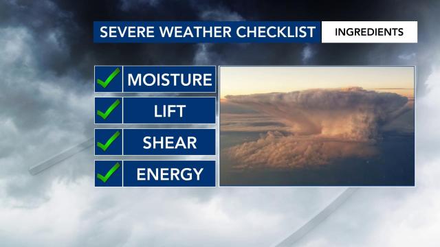
There are four ingredients that must be present for a thunderstorm to occur: moisture, lift, wind shear and energy (instability). Just as a minimal change in ingredients can produce a different dish in the kitchen, a minimal change in ingredients can produce a more impactful storm.
Wind shear is one such ingredient that can make an ordinary thunderstorm become strong to severe. It is also that ingredient needed to produce a tornado.
A tornado appears as a rotating, funnel-shaped cloud that extends from a thunderstorm to the ground with whirling winds that can reach 300 miles per hour. Damage paths can be in excess of one mile wide and 50 miles long. Some tornadoes are clearly visible, while rain or nearby low-hanging clouds obscure others.
Sometimes, tornadoes develop so rapidly that little, if any, advance warning is possible. North Carolina averages 28 tornadoes, two tornado fatalities and 33 tornado injuries each year.
On April 16, 2011, North Carolina saw 30 confirmed tornadoes — the greatest one-day total for North Carolina on record.
On that day, 24 individuals lost their lives in North Carolina, and there were over 300 injuries reported in central North Carolina alone.
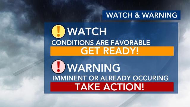
When atmospheric conditions are conducive for severe storms and/or tornadoes, the National Weather Service will issue a severe thunderstorm/tornado watch. When under a watch, you should remain alert for approaching storms, watch the sky, and stay tuned to WRAL and the WRAL Weather App.
When under a warning, you should take shelter immediately and turn on WRAL as our team of meteorologists will break down where that storm is and when it could impact you. Our WRAL Weather App has livesteaming capability so you can watch our coverage anytime from anywhere.
Flash flooding
More people die from floods each year than from tornadoes, lightning, or hurricanes. Flash flooding in North Carolina usually occurs when a large amount of rain falls in an area over a short period of time. The ground can only soak up so much water in a given time, and when the rain rate exceeds what can infiltrate into the ground or run off into drainage systems or streams, flooding is likely to occur.
Hurricanes, tropical storms and ordinary thunderstorms can all produce flash flooding.
We can usually predict where flooding will occur when a hurricane or tropical storm affects our area. However, when dealing with thunderstorms, predicting flash floods can be nearly impossible due to their isolated nature. Flash floods usually occur in low-lying areas where water can collect or in cities where water runoff from impermeable surfaces can fill roads or storm drains quickly.
In the past 10 years, flash flooding has occurred in North Carolina over 1,000 times, amounting to damages on the order of hundreds of millions of dollars and resulting in numerous fatalities. Being prepared and knowing how to stay safe will help you and your loved ones survive a flood.
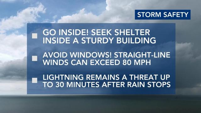
How to prepare and stay safe
The first step in making sure that you and your family are prepared for severe weather is by developing a family emergency and communications plan.
Things to consider when developing or reviewing your plan include:
- How you will get to a safe place?
- How you will contact one another if your family is not together?
- How you will get back together?
- What you will do in different situations, like time of day or night?
You should also inquire about emergency plans at places where your family spends time: work, daycare and school, faith organizations, sports events and commuting.
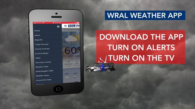
WRAL’s team of meteorologists is committed to keeping you and your family safe this upcoming severe weather season. The WRAL Weather App is a powerful yet easy-to-use weather station for your phone. Get truly local forecasts from our team of meteorologists who know North Carolina’s weather inside and out.
