- Seven months after Hurricane Helene, Chimney Rock rebuilds with resilience
- Wildfire in New Jersey Pine Barrens expected to grow before it’s contained, officials say
- Storm damage forces recovery efforts in Lancaster, Chester counties
- Evacuation orders lifted as fast-moving New Jersey wildfire burns
- Heartbreak for NC resident as wildfire reduces lifetime home to ashes
Tropical Storm Ida gains strength in Caribbean, expected to become hurricane
Tropical Storm Ida is expected to make landfall along Louisiana’s Gulf Coast Sunday, possibly as a Category 2 hurricane.
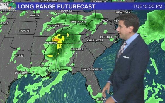
CHARLOTTE, N.C. — The historic peak of hurricane season is September 10, but it is late August and September that some of the more notable storms have formed and even impacted the Carolinas. As of August 27, there are two active tropical disturbances and one Tropical Storm in the Atlantic and Caribbean. Soon we will have three tropical storms and hurricanes to track.
The main threat, however, is Tropical Storm Ida which will become a hurricane by this weekend.
Tropical Storm Ida
Location: 85 miles west-northwest of Grand Cayman
Potential Impacts: Yucatan Peninsula, United States northern Gulf coast
As of 5 a.m. Friday, Tropical Storm Ida was moving northwest in the Caribbean after passing Grand Cayman. The storm is about 115 miles southeast of The Isle of Youth with maximum sustained winds of 60 mph.
Tropical Storm Ida will be near the Isle of Youth and western Cuba late Friday before emerging into the southeastern and central Gulf of Mexico this weekend. The system is forecast to approach the U.S. northern Gulf Coast on Sunday.
The latest track from the National Hurricane Center suggests a Category 2 hurricane near the Louisiana coast by Sunday afternoon but the intensification forecast can change quickly. Watches may be required for parts of the northern Gulf coast to start the weekend.
Locally heavy rainfall, mudslides, storm surge, and flooding are possible over portions of Jamaica, the Cayman Islands, across Cuba, and the Yucatan Peninsula this week. By this weekend, that threat could overspread into the coasts of Texas, Louisiana, Mississippi, Alabama, and the Florida Panhandle.
Wave Number 1: Invest 97-L
Location: 700 miles east of Bermuda (middle atlantic)
Development Chance: 70% within the next five days
Potential Impacts: Mid-Atlantic Ocean
Development potential has lowered slightly for Invest 97-L over the past 24 hours. The low pressure is still producing showers and thunderstorms east of Bermuda.
Conditions are marginally favorable for development late this week and this weekend, so a tropical depression could form as it drifts slowly eastward.
This system is no concern to the United States and likely no landfall from this system.
Wave Number 2: Invest 98-L
Location: South Central Atlantic
Development Chance: 70% within the next five days
Potential Impacts: Atlantic Ocean
An area of disorganized showers and thunderstorms continues to churn in the eastern Atlantic Ocean. Moderate development is possible within the next few days, however, unfavorable conditions are expected this weekend.
Wondering which names are next on the 2021 list? Here they are: