- Seven months after Hurricane Helene, Chimney Rock rebuilds with resilience
- Wildfire in New Jersey Pine Barrens expected to grow before it’s contained, officials say
- Storm damage forces recovery efforts in Lancaster, Chester counties
- Evacuation orders lifted as fast-moving New Jersey wildfire burns
- Heartbreak for NC resident as wildfire reduces lifetime home to ashes
Texas wildfire maps and other resources

There are several wildfires burning across Texas. We have links to several different maps so you can track them.
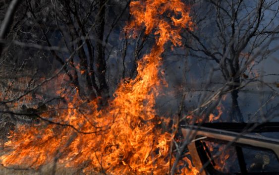
TEXAS, USA — Several wildfires are burning in North and Central Texas, destroying homes and buildings in its path. And at least one person has died.
Below are links showing maps to which you can track the progress of the wildfires and the communities they threaten.
According to the Texas Wildfire Public Viewer’s website, there were six active wildfires in Texas as of Friday. The biggest in Eastland County (the Kidd Fire), which is about an hour and a half away from Fort Worth.
There were three more wildfires burning in Eastland County:
- Wheatfield Fire (5,000 acres)
- Oak Mott Fire (6,000 acres)
- the Walling Fire (383 acres)
While these fires were in different locations around Eastland County, the Texas A&M Forest Service was referring to the overall incident as the Eastland Complex at a total of about 40,000 acres.
Maps of wildfires across Texas
Eastland County is not the only location where wildfires are burning across Texas.
A little more than an hour away is a wildfire in Coleman County called the Crews Gap.
Maps of wildfires across Texas:
Air quality across Texas
As tens of thousands of acres burn in multiple Texas locations, the smoke from those wildfires is moving to cities hundreds of miles away.
Friday morning, the Houston area woke up to hazy conditions, poor air quality, and a burning odor throughout the region due to the Texas wildfires.
Texas’ response to wildfires
Texas Gov. Greg Abbott held a press conference Friday to discuss the state’s response to the wildfires. He declared a disaster declaration for the impacted areas. Listen to his remarks in the video below: