- Seven months after Hurricane Helene, Chimney Rock rebuilds with resilience
- Wildfire in New Jersey Pine Barrens expected to grow before it’s contained, officials say
- Storm damage forces recovery efforts in Lancaster, Chester counties
- Evacuation orders lifted as fast-moving New Jersey wildfire burns
- Heartbreak for NC resident as wildfire reduces lifetime home to ashes
As spring weather returns so does threat for severe weather
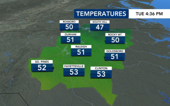
Raleigh, N.C. — After a chilly start on Tuesday, temperatures will swing upwards for the week — ushering in the threat for severe weather on Thursday.
Highs will be in the mid to upper 70s for Wednesday and Thursday. Wednesday will be a mostly dry day, but storms will be possible Thursday afternoon and evening, and some could become strong to severe in the early evening hours.
The air will be much muggier on Thursday, WRAL meteorologist Kat Campbell said. Showers will be most likely on Thursday between noon and 6 p.m. in central N.C. Though, some additional showers will be possible on Thursday night.
“Not everybody is going to see a severe storm,” said Campbell. “It’s not a widespread threat.”
Straightline winds and wind damage will be the biggest threats, and the risk for isolated tornadoes is low.

Storms will impact the Deep South on Wednesday, where a Level 4 risk for severe weather is in place. That same storm system will impact N.C. on Thursday, but we don’t have the same serious threat here.
Friday and the weekend will be beautiful, with mostly clear skies and highs in the low 70s (Friday) and mid to upper 60s (Saturday and Sunday).
Suffer from allergies?
Tree pollen could be an issue this week, specifically pine. While the pollen forecast is moderate on Thursday, Campbell said it will jump right back to the high category on Friday.

“If you suffer from allergies it might be a good idea to limit your time outside through the weekend and early next week,” WRAL meteorologist Aimee Wilmoth said.