- Seven months after Hurricane Helene, Chimney Rock rebuilds with resilience
- Wildfire in New Jersey Pine Barrens expected to grow before it’s contained, officials say
- Storm damage forces recovery efforts in Lancaster, Chester counties
- Evacuation orders lifted as fast-moving New Jersey wildfire burns
- Heartbreak for NC resident as wildfire reduces lifetime home to ashes
Weather IQ: How do tornadoes in the Carolinas form?

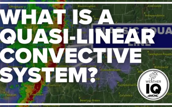
Meteorologist Brittany Van Voorhees breaks down what a quasi-linear convective system is and why the storms can be so sudden.
CHARLOTTE, N.C. — QLCS stands for a quasi-linear convective system. It’s a complex term that can be broken down into this: A line of strong thunderstorms that is not perfectly straight.
This is often referred to as a squall line. Most often in the Charlotte area, these squall lines form ahead of a cold front and can produce severe weather.
Why are they so dangerous?
A QLCS tornado forms rapidly and with very little warning. They can be rain-wrapped (meaning there’s so much rain that the velocity is hard to see), happen in such a short period of time the radar scans don’t come in fast enough, spin up over a small distance or happen too far away from the radar site which can provide additional challenges.
Maybe one of the biggest issues: these lines are fast, sometimes moving at 45 to even 60 mph, due to the winds within the storms driving the line.
Where kinks happen in the line, the squiggly nature as it pushes forward – tornadoes can spin up. They’re especially dangerous because of their quick nature. They can happen any time, but most often in the afternoon and evening when the atmosphere is most unstable.
Although QLCS tornadoes are short-lived – often lasting only a few minutes – and generally weaker, they can still cause significant damage.
Even if a tornado doesn’t form, widespread wind damage is common with these systems.
How often do they happen?
Approximately 90% of tornadoes in the Carolinas form along these complex systems.
Back on March 31, 2022, a QLCS spawned the EF-2 tornado that touched down in Anson County before moving into Stanly County. At times, that squall line was moving over 70 mph!!
The WCNC Weather Team was live on television and streaming for about two hours during the storm. While WCNC meteorologists are always monitoring storms locally, these rapidly-moving lines can produce damaging winds, large hail, dangerous lightning, and heavy rain.
A QLCS also spawned the Iredell County tornado back on August 17, 2021, and the York County tornado on May 3, 2021.
Contact Brittany Van Voorhees at bvanvoorhe@wcnc.com and follow her on Facebook, Twitter and Instagram.