- North Carolinians perplexed by unexpected DMV refunds tied to Hurricane Helene relief
- Yes, NCDOT is sending Hurricane Helene relief checks
- ‘This is a years-long recovery’: The Panhandle rebuilds after devastating wildfires
- Weather Impact Alert: dangerous travel conditions, flooding possible in the mountains Tuesday and Wednesday
- Austin community unites to combat wildfires with Firewise program
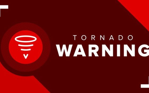
Tornado warning issued for Cabarrus County
The Charlotte metro will likely see heavy rain with the threat of damaging winds and flash flooding across the Carolinas Monday afternoon.
CHARLOTTE, N.C. — A storm system will bring the threat of heavy rain, strong thunderstorms and flash flooding to the Charlotte area Monday afternoon and evening, chief meteorologist Brad Panovich said.
Panovich said the storm system that will move into the Carolinas formed over the Gulf of Mexico and at one point had the potential to be the first named tropical storm of the season. That didn’t happen, but it will still bring rain to the Southeast.
“There’s a lot of rain, there’s a little bit of wind and we will keep an eye on the small severe weather risk,” Panovich said. “I say small because in areas just east of the center, there is a low risk for some severe weather. The overall risk is relatively low. It’s not zero, but it’s pretty low.”
Panovich said the Charlotte area has around a 5% threat for damaging winds, with a 2% threat of tornadoes. There’s almost no risk for hail during Monday’s storms, according to Panovich.
Storm timing
Panovich said Monday’s storms will move into the Charlotte metro around lunchtime. It will linger through the evening hours with heavy rain expected across the entire WCNC Charlotte viewing area.
“Noon to 1 o’clock, I would expect the heaviest rain to move in,” Panovich said. “This will be heavy rain, flooding is probably somewhat of a concern with this as it moves in because some of these showers could cause heavy rain.”
Flood risk
Panovich said there’s a widespread area in the Carolinas with a 15-20% chance of flash flooding. The heavy rain rates could cause standing water and flooding Monday afternoon.
“The excessive rainfall outlook is elevated, that’s actually higher than the severe weather risk,” Panovich said.
The Carolina coast will be at risk for more flooding Tuesday as the system pushes east and another system follows it from the west.
“We’re going to have a couple of days with potentially heavy rain,” Panovich said. “Some of the amounts in here, basically around 1-2 inches of rain, depending on how much it moves. What you’re looking at here is probably around 2-4 inches of rain over this area over the next five days.”