- Wildfire in New Jersey Pine Barrens expected to grow before it’s contained, officials say
- Storm damage forces recovery efforts in Lancaster, Chester counties
- Evacuation orders lifted as fast-moving New Jersey wildfire burns
- Heartbreak for NC resident as wildfire reduces lifetime home to ashes
- ‘It’s only going to get worse’: Wildfire risk grows in western North Carolina
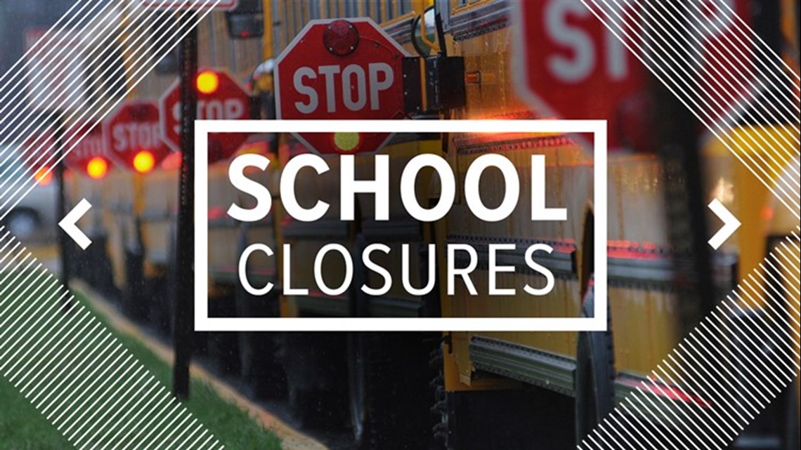
Houston-area school closures: After-school cancelations, early dismissals Tuesday due to severe weather
So far, one school district is dismissing students early because of Tuesday’s severe weather threat.
HOUSTON — Showers, storms, strong winds and even isolated tornadoes are expected Tuesday across the Houston area as a cold front pushes through.
The strongest storms should be in our area between 10 a.m. and 5 p.m.
At least one school district has decided to let students go home early in anticipation of the severe weather.
Early dismissals on Jan. 24
- Hull-Daisetta ISD — dismissing students at 1 p.m.
After-school cancelations
- Houston ISD is canceling all after-school activities due to the server weather
So far, no other districts have announced closures, cancelations or early dismissals for Tuesday. We will update this page when we learn more.
Tuesday’s severe weather
Tuesday will be a pretty wet day as widespread showers and storms are expected for the majority of the afternoon. These storms have the potential to be strong to severe with gusty winds.
After lunchtime, a squall line will develop along the incoming cold front, which could produce damaging winds and isolated tornadoes, especially for those south of I-10.
We should see the severe weather threat diminish at about 6 p.m. for those towards the west as the cold front pushes toward the coast.
Behind the front, temperatures will remain at or below normal for the remainder of January! In fact, a freeze is possible for some areas Thursday and Friday morning.