- 'We gutted every building' | Chimney Rock rebuilding after Hurricane Helene
- 'We gutted every building' | Chimney Rock rebuilding after Hurricane Helene
- Debris from Hurricane Helene provides fuel, complicates containment for spring wildfires
- David & Nicole Tepper increase Hurricane Helene relief commitment to $750k
- David & Nicole Tepper increase Hurricane Helene relief commitment to $750k
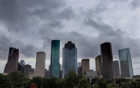
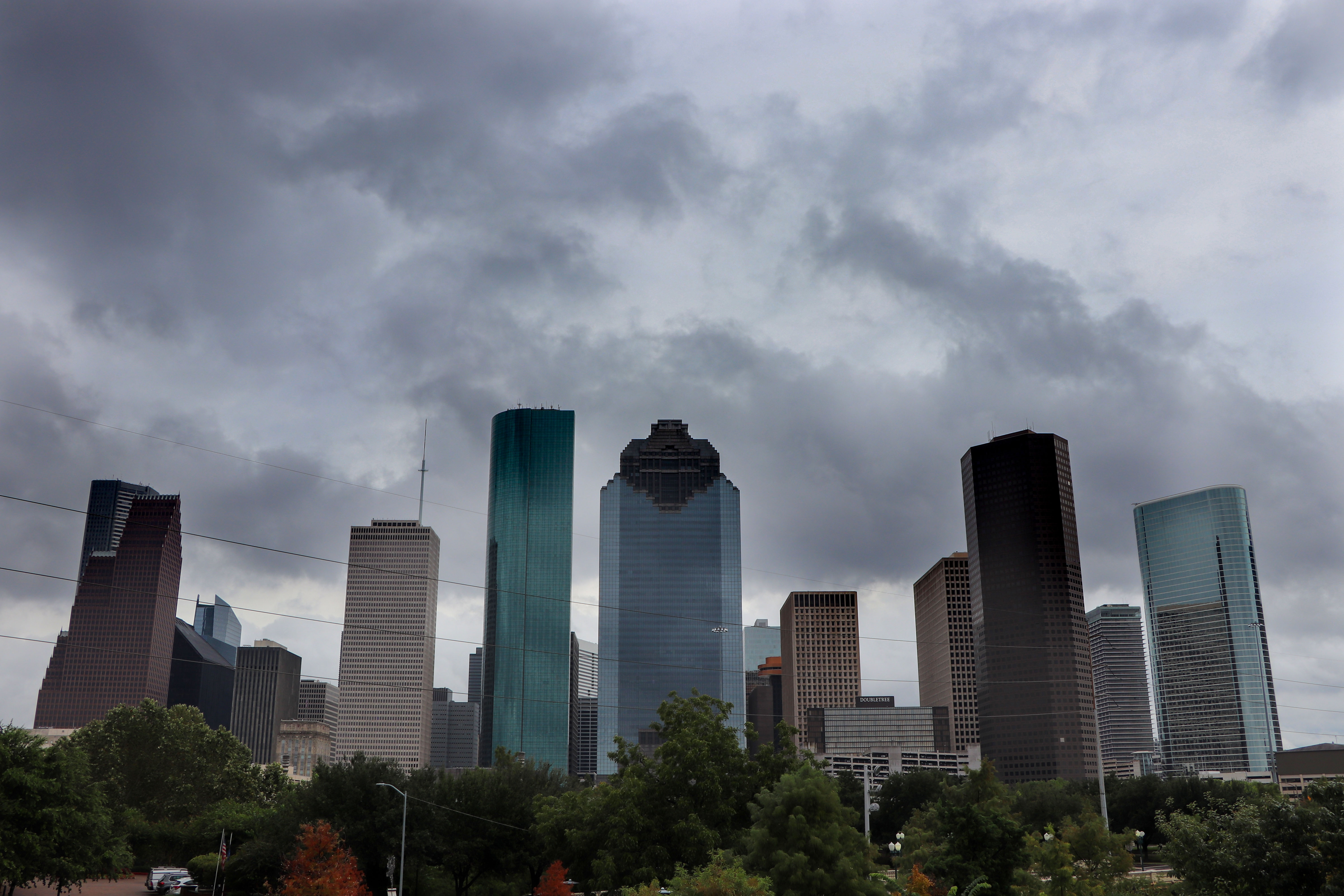
Houston weather: Flood watch until Wednesday night across region
Heavy rain and potential flooding are in the forecast across the Houston region, meteorologists say.
A flood watch was issued by the National Weather Service on Tuesday morning and is in effect through 7 p.m. Wednesday. Rain chances were 70 percent for Tuesday.
Cameron Self, National Weather Service meteorologist, said the rain will be widespread and rainfall totals will add up quickly.
“We’re gonna be talking about two to three inches, which is manageable, however the issue is going to be the locally, heavier totals,” Self said.
Self added that some areas around Houston could get between five to seven inches of precipitation.
There could also be a risk of flooding on Wednesday, since the rain from Tuesday is unlikely to recede in time, and a fresh round of storms are expected Tuesday night into Wednesday.
“Creek streams by us where that heavy rainfall occurs could experience some pretty quick rises as well,” Self said. “And so that’s why the flood watch was issued for the Houston metro area.”
Self added that there could still be flooding at the end of the week.
“And then as we go into Thursday and Friday, the bulk of the flood threat will start to shift to the west and north,” he said. “However, because the soils are going to be so saturated, there’s still a chance of scattered showers and thunderstorms so we still couldn’t even rule out some localized flooding later in the week.”