- CenterPoint Energy accelerates infrastructure improvements ahead of hurricane season
- Carolina Hurricanes playoff tickets go on sale Thursday
- Ask the Meteorologist: Why do tornadoes target Tornado Alley, Dixie Alley?
- Nonprofit closes distribution site that aided thousands after Hurricane Helene
- Trump approves federal assistance amid Arkansas flooding
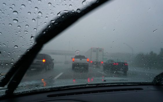
More possible severe weather looms over San Antonio after overnight storms

Update: 7:06 a.m. Sunday, June 4: The National Weather Service says scattered showers and storms are possible throughout much of Sunday, June 4. Some storms are expected to produce heavy rainfall while temperatures throughout the day are expected to reach the mid to upper 80s for most areas.
Scattered showers and storms are possible today. Some storms could produce heavy rainfall. High temperatures in the mid to upper 80s are forecast for most areas. pic.twitter.com/HUts8gE9MO
— NWS Austin/San Antonio (@NWSSanAntonio) June 4, 2023
According to the weather service, repeated rounds of scattered showers and storms will remain possible through Tuesday, June 6. Isolated showers and storms will slightly increase on Wednesday, June 7 and Thursday, June 8. A warming trend is forecast for residents in the area at the end of the week.
The original story as follows:
CPS Energy is continuing overnight efforts to restore power to more than 10,000 customers on Saturday, June 3, as more possible severe weather looms over San Antonio and the Hill Country following a night of intense wind, heavy rain, and large hail. The utility’s outage map reports 293 active outages affecting 10,748 customers around 8 a.m.
The National Weather Service said the storms kicked off an active weather pattern in Texas that could cause local daily rain chances will linger through Tuesday, June 6.
According the NWS, a wake low developed over San Antonio, New Braunfels and San Marcos where wind speeds up to 55 mph were reported. NBC News reports five tornados were reported in Texas due to the storm system on Friday, with at least one confirmed to have touched down near Fort Stockton, while flooding that prompted a Sate of Emergency declaration continued to inundate West Texas and the panhandle.
The chance for more thunderstorms on Saturday is forecasted to hold off until after 5 p.m. in San Antonio as scattered storms could develop over parts of West Texas and Mexico, a report by NWS says. The scattered strong storms could be capable of producing large hail, damaging winds, and localized flooding in areas hit by heavy rainfall, the report says, and the highest rain potential is expected to be west of Highway 281 through midday Sunday.
Locally heavy rainfall and flooding will be possible through Tuesday, with rain chances becoming more isolated by mid-week, the NWS says.