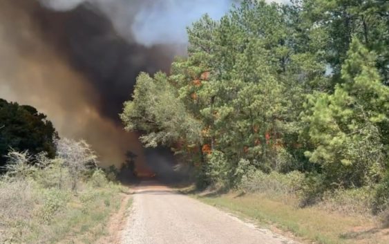
- A year after Texas’ largest wildfire, Panhandle residents tugged between hope and anxiety
- Another $500M for Hurricane Helene relief in North Carolina passes key hurdle
- Crews battle wildfire in McDowell County, NC
- Wildfire in McDowell County, NC is 20% contained, officials say
- California governor asks Congress for nearly $40 billion for Los Angeles wildfire relief
How the Texas A&M Forest Service manages wildfire response efforts across the state

The Texas A&M Forest Service leads the state’s wildfire-fighting efforts and its Predictive Wildfire Services Unit is hard at work trying to get ahead of the danger.
COLLEGE STATION, Texas — Texas has had 506 wildfires statewide through August 16. That is 150% more than normal for the entire month.
The Texas A&M Forest Service leads the state’s wildfire-fighting efforts and its Predictive Wildfire Services Unit is hard at work trying to get ahead of the danger.
Up in College Station, the Forest Service houses the Emergency Operations Center to battle wildfires for the entire State of Texas.
That’s where they manage and pre-position hundreds of firefighters and their equipment based on actual and predicted wildfire threats.
“We have approximately 160 weather stations across the state,” Predictive Services Unit Department Head Brad Smith said.
Pointing to a state map he added, “Each of those black diamonds is one of our fire weather stations.”
The Houston area has been dry since July 1. We are in a flash drought. During drought, trees react.
“They pull the moisture out of the canopy just into the core of that tree to help it survive,” Smith said.
So the team clips leaf samples and weighs them before and after baking to determine the moisture content. That tells them how dry and therefore how dangerous the tree canopy is.
Along with other data, the team creates daily fire threat maps. That helps determine where crews and machines are pre-staged across the state. The Emergency Operations Center even has an old-fashioned war room map with moveable magnets representing resources.
“We have dozers, task forces, engines, aircraft shown here. It’s like those war games you see moving pieces across a map,” Smith said.
Magnets on the map represent resources in staging areas that anticipate or fight actual fires.
The goal of the Predictive Services Unit is to position those assets as close as possible to the biggest threats for the fastest response.