- One set of evacuation orders lifted in Caldwell County after wildfire contained
- 'We gutted every building' | Chimney Rock rebuilding after Hurricane Helene
- 'We gutted every building' | Chimney Rock rebuilding after Hurricane Helene
- Debris from Hurricane Helene provides fuel, complicates containment for spring wildfires
- David & Nicole Tepper increase Hurricane Helene relief commitment to $750k
Weather service issues flash flood warnings for Houston and surrounding cities Thursday morning
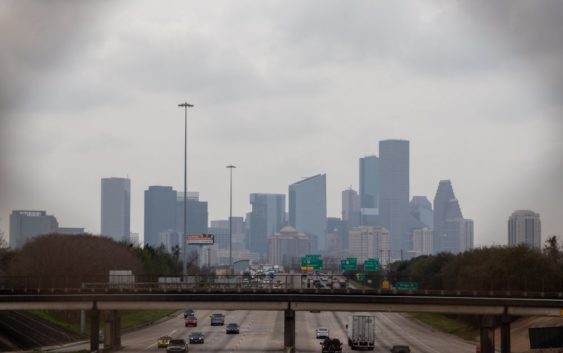
The National Weather Service is warning of potential flooding in Houston and surrounding cities Thursday morning.
- A coastal flood statement is issued on Galveston Island until 9 a.m. Thursday. National Weather Service says there is a minimal to no known threat to life or property on the island.
- A flood advisory is issued by the National Weather Service in Matagorda County until 8:45 a.m. Thursday. Officials say there is a possible threat to life or property.
- A flood advisory is issued until 8:15 a.m. in Harris County and Montgomery County. Officials say there is a possible threat to life or property.
The flood warnings come just days before Houston is set to see its first cold front of the year, with highs in the high 70’s to low 80’s anticipated. Despite the much needed rain in town, Houston still saw an overwhelmingly hot summer with dry heat and high temperatures.
Houston officially saw its hottest summer on record this year, narrowly beating out the previous all-time summer heat record from 2011. The average temperature in the city from June through August this year was 88 degrees. Temperatures will start cooling Saturday, with an estimated high of 77 degrees.