- McDowell County wildfire spreads to 500 acres, evacuation orders in place
- Evacuations in Caldwell County due to wildfire
- Northwest Houston 'ghost neighborhood' caused by repeated flooding to become latest detention basin
- NHL playoffs: Hurricanes open playoffs Easter Sunday afternoon vs. Devils
- 2 wildfires spreading in rugged terrain in western North Carolina
Southeast Texas flooding updates: Rain expected to continue falling overnight
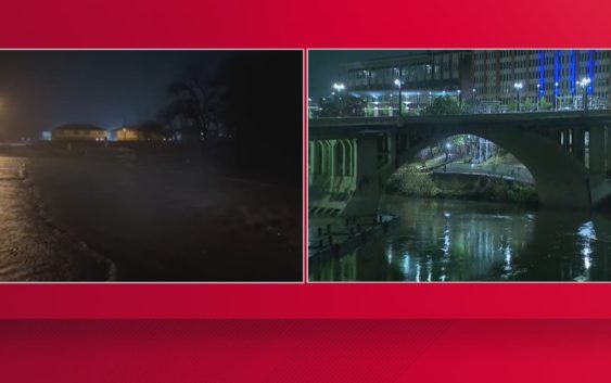
Heavy swaths of rain fell in Southeast Texas on Tuesday, dropping more water on an already-saturated ground.
TEXAS, USA — A series of storms brought waves of rain to Southeast Texas on Tuesday, adding more water to an already saturated ground.
The storms triggered a series of Severe Thunderstorm Warnings and Flash Flood Warnings.
Check with the KHOU 11 News Weather Team for a look at the forecast.
Here are some updates.
10:05 p.m. Tuesday
Heavy rain was falling in Navasota. KHOU 11 News Reporter Matt Dougherty was live:
9:08 p.m. Tuesday
Livingston ISD announced that it was delaying the start of school on Wednesday by two hours.
9:06 p.m. Tuesday
The National Weather Service said Flash Flood Warnings were continuing with more rain on the way overnight.
8:54 p.m. Tuesday
NWS Houston announced a Flash Flood Warning would continue around Navasota until at least 11:15 p.m. Tuesday.
8:29 p.m. Tuesday
Coldspring-Oakhurst CISD announced that it was delaying the start of school on Wednesday by two hours.
7:58 p.m. Tuesday
The San Jacinto River Authority advised residents around Lake Conroe to secure their vessels due to the weather.
7:47 p.m. Tuesday
Anderson-Shiro CISD announced that it was delaying the start of school on Wednesday by two hours.
7:37 p.m. Tuesday
KHOU 11 Chief Meteorologist David Paul provides a look at the weather conditions.