- Seven months after Hurricane Helene, Chimney Rock rebuilds with resilience
- Wildfire in New Jersey Pine Barrens expected to grow before it’s contained, officials say
- Storm damage forces recovery efforts in Lancaster, Chester counties
- Evacuation orders lifted as fast-moving New Jersey wildfire burns
- Heartbreak for NC resident as wildfire reduces lifetime home to ashes
Slight rain chances, river flooding ongoing
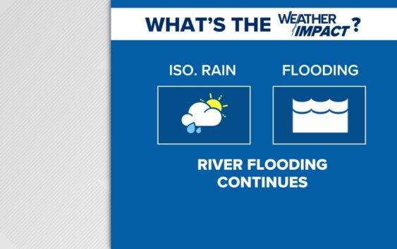
While drier weather moves in this weekend, a few showers are still possible from Helene’s outer bands.
CHARLOTTE, N.C. —
This weekend
Mostly cloudy skies tonight with a stray shower possible. Overnight temperatures will remain mild in the mid 60s. Partly sunny with a few showers possible Sunday and temperatures near 80. A midweek cold front will bring some cooler and drier air later next week.
Watch for flooded roadways due to runoff from creeks, rivers and local lakes. Levels will peak this weekend and begin to recede next week. Remember, some trees and power lines are still down, so stay safe. Ideally, folks would not travel if they don’t have to.
NCDOT put out this alert this morning on social media: “All roads in Western NC should be considered closed.” It’s a good reminder to avoid going into the mountains and foothills as numerous roads are closed or washed away. These catastrophic, life-threatening impacts will continue through at least the weekend.
Tropical Update
While we were focused on impacts from Helene, Hurricane Isaac and Tropical Storm Joyce formed in the Atlantic Ocean. Isaac is no threat to the United States but we’ll keep a close eye on Joyce.
Elsewhere, there are two new areas to watch: one in the western Caribbean/southern Gulf of Mexico and the other way out in the eastern Atlantic. We have time to watch but the next name on the 2024 list is Kirk.