- South and Midwest face potentially catastrophic rains and floods while reeling from tornadoes
- Deadly 2024 hurricanes prompt WMO to retire three names
- Body recovered in North Carolina identified as East TN man who has been missing ever since Hurricane Helene
- Report: Coastal flooding could threaten 1.4 million homes by midcentury
- Caught on camera | Tornado touches down in Missouri
Flash Flood watch in effect until Friday

A flash flood watch is in effect for the Triangle and parts of North Carolina from Wednesday morning to Friday.
Hurricane Sally will cause a remnant low that will be south of North Carolina. The rain will start to pick up for us Wednesday night and Thursday night.
Parts of the WRAL Viewing area are in most recent path of Hurricane Sally.
We are looking at getting 3 to 6 inches of rain over the next couple of days, according to WRAL meteorologist Elizabeth Gardner.
Some pockets of the WRAL Viewing area could get 8 inches of rain from Sally.
Thunderstorms should move out of our area by Friday night.
While Sally’s impact on the Gulf Coast could be severe, impacts in North Carolina will be minimal.
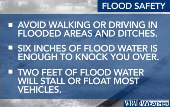
Since the weather is still nice outside for most of Wednesday, now is the time to start preparing for very heavy flooding.