- South and Midwest face potentially catastrophic rains and floods while reeling from tornadoes
- Deadly 2024 hurricanes prompt WMO to retire three names
- Body recovered in North Carolina identified as East TN man who has been missing ever since Hurricane Helene
- Report: Coastal flooding could threaten 1.4 million homes by midcentury
- Caught on camera | Tornado touches down in Missouri
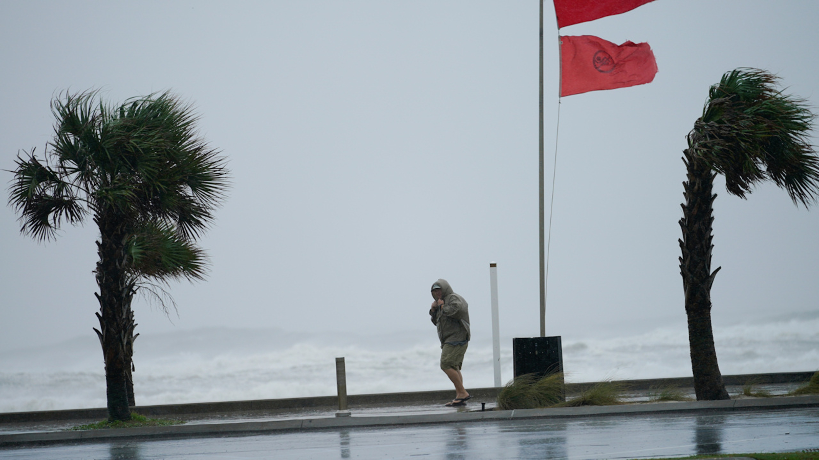
Slow-moving Hurricane Sally makes landfall near Gulf Shores, Ala., life-threatening flooding forecast

The National Hurricane Center now sees four named storms and seven active systems in the Atlantic storm basin.
Hurricane Sally made landfall around Gulf Shores, Alabama around on Wednesday around 6 a.m. Sally strengthened to a Category 2 hurricane overnight. As of 6 a.m., Sally’s winds are up to 105 mph, bringing hurricane-force winds onshore to the Florida panhandle and Alabama.
The National Weather Service has issued a Flood Emergency in areas from Tallahassee, Florida to Mobile Bay, Alabama. Several Tornado Warnings were also issued.
The strength of the storm isn’t the main concern. Sally is only moving at 3 miles per hour. That slow movement means it is going to drop an incredible amount of rain for an extended period of time. Historic and life-threatening flooding is likely.
Couple that with any significant wind speed, and you have a recipe for major damage.
ABC News’ Rob Marciano is in Pensacola, Fla. where they’re getting hammered with rain. The National Hurricane Center warns Sally could bring “historic life-threatening flash flooding through Wednesday.”
Sally is expected to bring extremely dangerous and life-threatening storm surge. Storm surge warnings have been issued from Port Fourchon in Louisiana to the Mississippi/Alabama border.
Sally is the earliest “S” storm in recorded history.
Sally is just one of four named storms under observation right now. Paulette, Teddy, and Vicky are the others.
Hurricane Teddy is now a Category 2 hurricane. It is also projected to strengthen into a Category 3 storm Thursday and Category 4 by Friday. The good news is, Teddy is expected to stay out to sea.
Tropical Storm Vicky formed Monday west of the Cabo Verde Islands. It is not expected to cause a serious impact and will be short-lived.
Preparing your hurricane kit during COVID-19
Out in the Atlantic, Hurricane Paulette is moving northeast. The eye of Paulette moved over Bermuda on Monday morning.
After hitting Bermuda, the storm is expected to turn north and stay away from the United States. Swells from Paulette are expected to impact parts of the Leeward Islands, the Greater Antilles, the Bahamas, Bermuda and the southeastern United States.
A tropical wave off Africa’s west coast has a 50% chance of development over the next 5 days. Another wave in the Gulf has a 20% chance of development in the same time period. A non-tropical wave over the northeastern Atlantic Ocean has a 20% chance of forming.
The next storm to become a tropical storm will be named Wilfred, the final name before moving on to the Greek alphabet. Here’s what happens if we run out of names.
The last time that happened was 2005–which is the current record holder for the most active hurricane season ever.
Copyright © 2020 WTVD-TV. All Rights Reserved.