- 'We gutted every building' | Chimney Rock rebuilding after Hurricane Helene
- 'We gutted every building' | Chimney Rock rebuilding after Hurricane Helene
- Debris from Hurricane Helene provides fuel, complicates containment for spring wildfires
- David & Nicole Tepper increase Hurricane Helene relief commitment to $750k
- David & Nicole Tepper increase Hurricane Helene relief commitment to $750k
Parts of Texas under a Tornado Watch, NWS reports
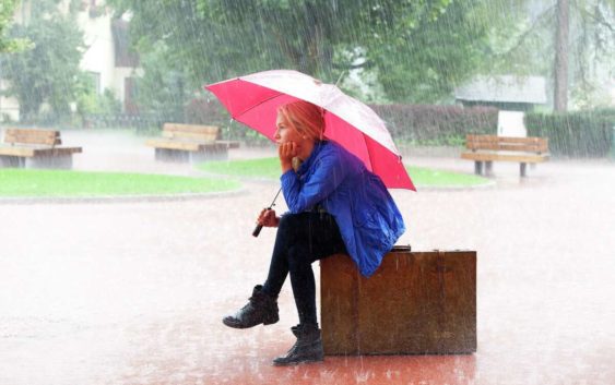
Rain stock photo
Westend61/Getty Images/Westend61The National Weather Service has issued a Tornado Watch for Val Verde County through 10 p.m. Sunday. The risk of strong to severe storms has expanded farther east into the Austin metro area Sunday evening into early Monday morning.
San Antonio may hear rumbles of thunder, but a heavy downpour is not expected. Boerne, Fredericksburg, Ulvade and surrounding areas are in the marginal risk for severe weather.
Large hail and damaging wind gusts are the main concerns for this line of storms. Areas could see up to three inches of rain which could lead to minor flooding. Just a reminder, do not drive around barricades or through flooded streets.

San Antonio-area braces for isolated thunderstorms, severe weather
Courtesy, National Weather ServiceStorms are expected to ramp up Sunday evening into early Monday morning, however as the storm reaches the I-35 corridor, the intensity is expected to decrease.
Parts of Kerrville could see severe storms that could produce large hail and damaging winds. There’s also a low chance of tornado development.
Monday will begin damp with spotty rain showers which could make for a messy commute. Be sure to give yourself plenty of time to get to your destination and allow plenty of driving room between you and the vehicle in front of you. Isolated showers are in the forecast for the week with humid and warm temperatures.