- Artists transform hurricane aftermath into hoop-inspired masterpieces at Charlotte exhibit
- NC's cost for Hurricane Helene damage is nearly $60 billion, state says
- State to develop drone program to better respond to disasters like Helene, Florence
- South Carolina residents face deadline to get storm debris out to the curb after Hurricane Helene
- SCDOT to pick up Hurricane Helene debris for a final day in South Carolina
Quarter-sized hail, heavy wind gusts to hit San Antonio area Thursday

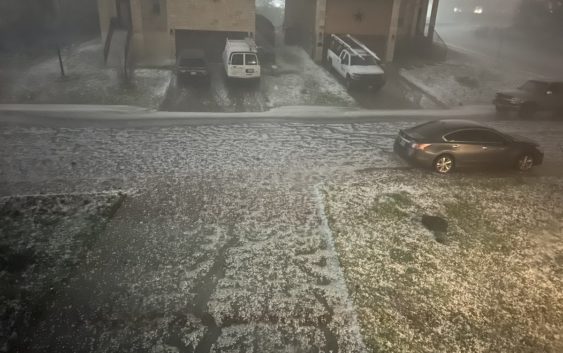
San Antonio residents should adjust their priorities heading into Thursday’s severe storms because an umbrella might not be enough to combat the hail more than a quarter in size, according to the National Weather Service.
The NWS has been keeping close tabs on the storm brewing as hot as your morning coffee in parts of South-Central Texas and provided a weather update early Wednesday morning. Weather experts are predicting two rounds of storms bringing rain showers, thunderstorms, and 60 mile-per-hour winds, which have been upgraded from the 45 mile-per-hour winds NWS was forecasting Tuesday.
Starting Thursday afternoon, the NWS is focused on potentially damaging winds accompanied by the severe storms between 1 p.m. and 4 a.m. Friday. The NWS says the first round of storms will be concentrated east of I-35 Thursday afternoon and pose a chance for large-size hail reaching more than a quarter in size. The second beating is predicted to affect the South-Central Texas area, which includes San Antonio and parts of the Hill Country.
While the NWS is still monitoring the developing storms, they say isolated tornadoes aren’t completely out of the question, but aren’t their main priority considering the predicted high winds.
The storms will give way to the forecasted cold front that the NWS says could bring about temperatures in the 30s and 40s accompanied by potential wind gusts of 40 to 50 miles-per-hour. There has also been murmuring’s of the cold front adding a few flurries into the mix, and while snow is always possible when temperatures drop and rain is forecasted, the likelihood of it bringing to snow in mid-March is doubtful, according to the NWS.
On Tuesday, March 14, the NWS issued an update on the weekly weather forecast depicting the cold front would last well into the weekend and might bring a few isolated showers putting a damper on holiday celebration plans.
MySA is keeping close tabs on the storm as more information comes in. Follow us on social media and check out mysanantonio.com for the latest updates as storms inch toward San Antonio and the Hill Country.