- Report: Coastal flooding could threaten 1.4 million homes by midcentury
- Caught on camera | Tornado touches down in Missouri
- Carolina Hurricanes playoff tickets go on sale next week
- Storms kill 6 in the South and Midwest as forecasters warn of catastrophic rains, floods this week
- Weather Impact Alert: Cold front could trigger severe weather in Houston area this weekend | See timeline
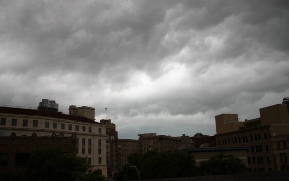
Flood watch in effect for Hill Country as severe storms make way to San Antonio

A quick look outside may already be telling you what you already know. But the National Weather Service says that San Antonio and its surrounding cities will have more chances of severe storms on Saturday, May 4, along with a threat for heavy rain and isolated flooding in areas nearby.
After periods of rain and severe weather throughout much of the state this week, the weather agency now says that scattered to numerous storms are expected to develop late this afternoon and move toward the I-35 corridor by later tonight. As of right now, there is a level one to three risk for severe thunderstorms late this afternoon into early Sunday, May 5, morning.
“Multiple rounds of thunderstorms are possible tonight into early Sunday across northern and central portions of South Central Texas,” the weather agency says. “Localized flooding is possible. Plan ahead if you expect to be in an area that could be impacted by flood waters.”
A Flood Watch has since been issued by the NWS through early Sunday afternoon for northern counties in the Hill Country. The potential for storms later this evening and overnight could produce one to two inches of rainfall. And in some isolated areas, an excess amount of three inches, which may lead to isolated flash flooding.
Most areas in San Antonio will continue to see cloudiness, patchy drizzle and fog in the early part of the day Saturday before thunderstorms roll around. And humid and seasonally warm conditions will continue with highs in the mid 80s to low 90s.